The real world
Search for a town, a mountain or your own street and the drone appears in the air above it. Buildings, roads, rivers, forests and terrain come from open map data.
Pick a place and fly
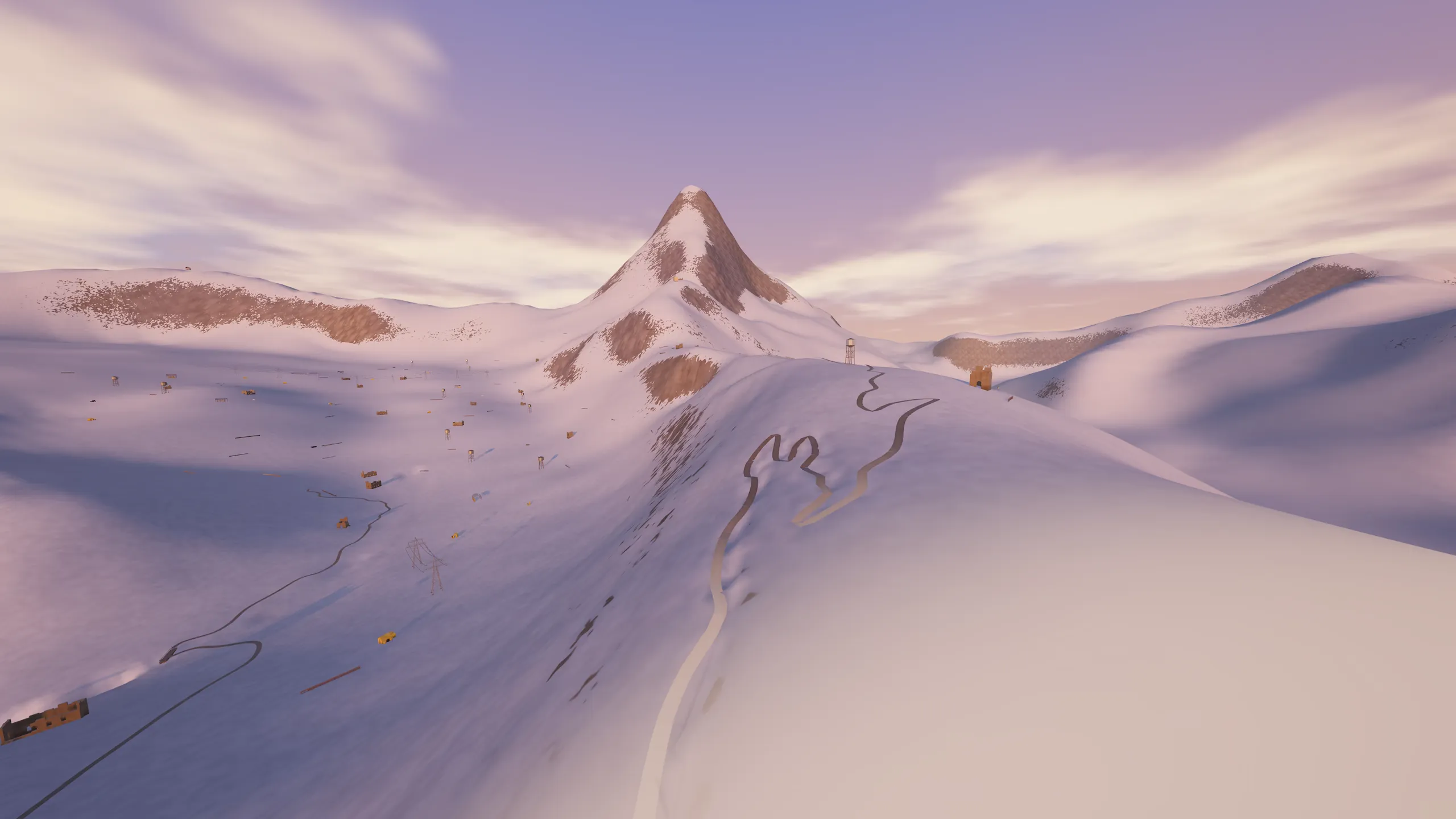
Besides its own maps, Ledroon can put you anywhere on the planet. Open the world map, type a place, and a few seconds later you are in the air above it.
The world is built while you fly. The terrain, streets, rivers, woods and fields come from OpenStreetMap and elevation data. Each building keeps its real footprint and height and is drawn from a set of models made for flying FPV: gaps to thread, roofs to skim, edges to dive. It is not a copy of your house; it is the place, laid out for flying.
Places you have flown are kept on your computer, so they open faster the next time and work without internet.